44H JARVIS PL
ROXBURY, MA02119
Owner Information
CLEVELAND B KIMBALL
20 FORBES AVE
NORWOOD, MA 02062


Property Details
44H JARVIS PL is classified as a Undevelopable Residential Land (Vacant).
44H JARVIS PL is valued at $12,200. The land is valued at $12,200 and the structures are valued at $0.
44H JARVIS PL was last sold on Thursday, January 1, 1987 for $0.
Assessment data from fiscal year 2020.
Flood Data
According to the FEMA National Flood Hazard Layer, this property does not appear to be in a flood zone. It may also be in an area not yet reviewed. Nonetheless, confirm this information prior to taking any action.
To view the flood hazards around this property, create a FEMA "Firmette" Map of the area around 44H JARVIS PL.
Broadband Internet Providers
| Provider | Type | Bandwidth (mbps) | |
|---|---|---|---|
| GCI Communication Corp. | Satellite | 0 | 0 |
| VSAT Systems, LLC. | Satellite | 2 | 1 |
| HughesNet | Satellite | 25 | 3 |
| Comcast | Cable | 1000 | 35 |
| Verizon New England Inc. | Fiber | 940 | 880 |
| Verizon New England Inc. | DSL | 10 | 1 |
| Viasat Inc | Satellite | 100 | 3 |
| Crown Castle Fiber | Fiber | 0 | 0 |
Broadband service provider data from December 2020.
Adjacent Properties
- 3 JARVIS PL
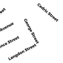
Single Family Residential owned by BELECHE MARCOS T - 102 George ST
Multiple Houses on one parcel owned by CENTEIO JULIA COUTO - Cedric ST
Other Storage, Warehouse, and Distribution facilities (see also usecode 401) owned by LASALLE REALTY LLC MASS LLC - Cedric ST
Other Storage, Warehouse, and Distribution facilities (see also usecode 401) owned by RAIMONDI ROBERT A SR TS